Ekaterina Vasilyeva: On the Neva

A River for People: What Makes the Neva Tick?
Ekaterina Vasilyeva
Republic
November 29, 2019

All my photo projects are somehow connected with nature, with long walks and studying the environment. I think that without a clear understanding of nature’s role in our lives, we to some extent deprive ourselves of support.

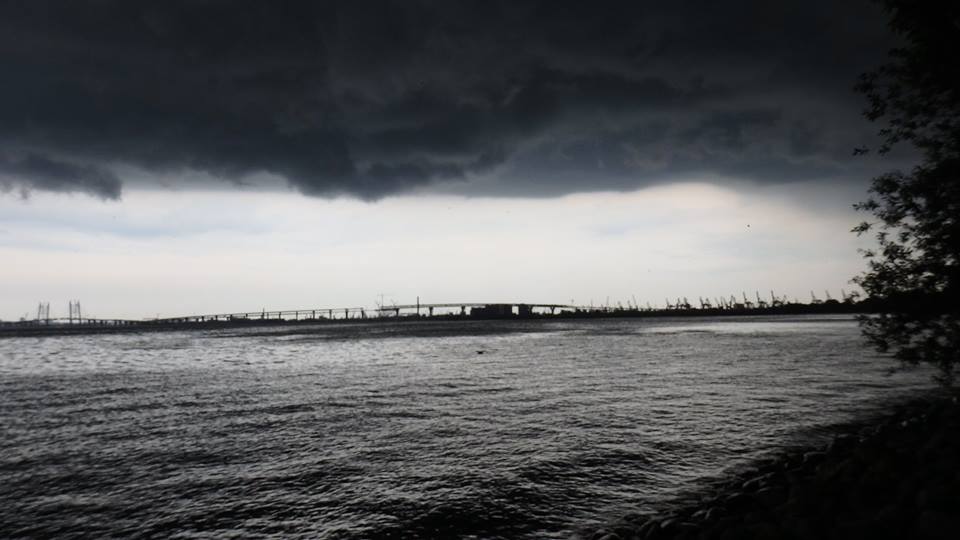
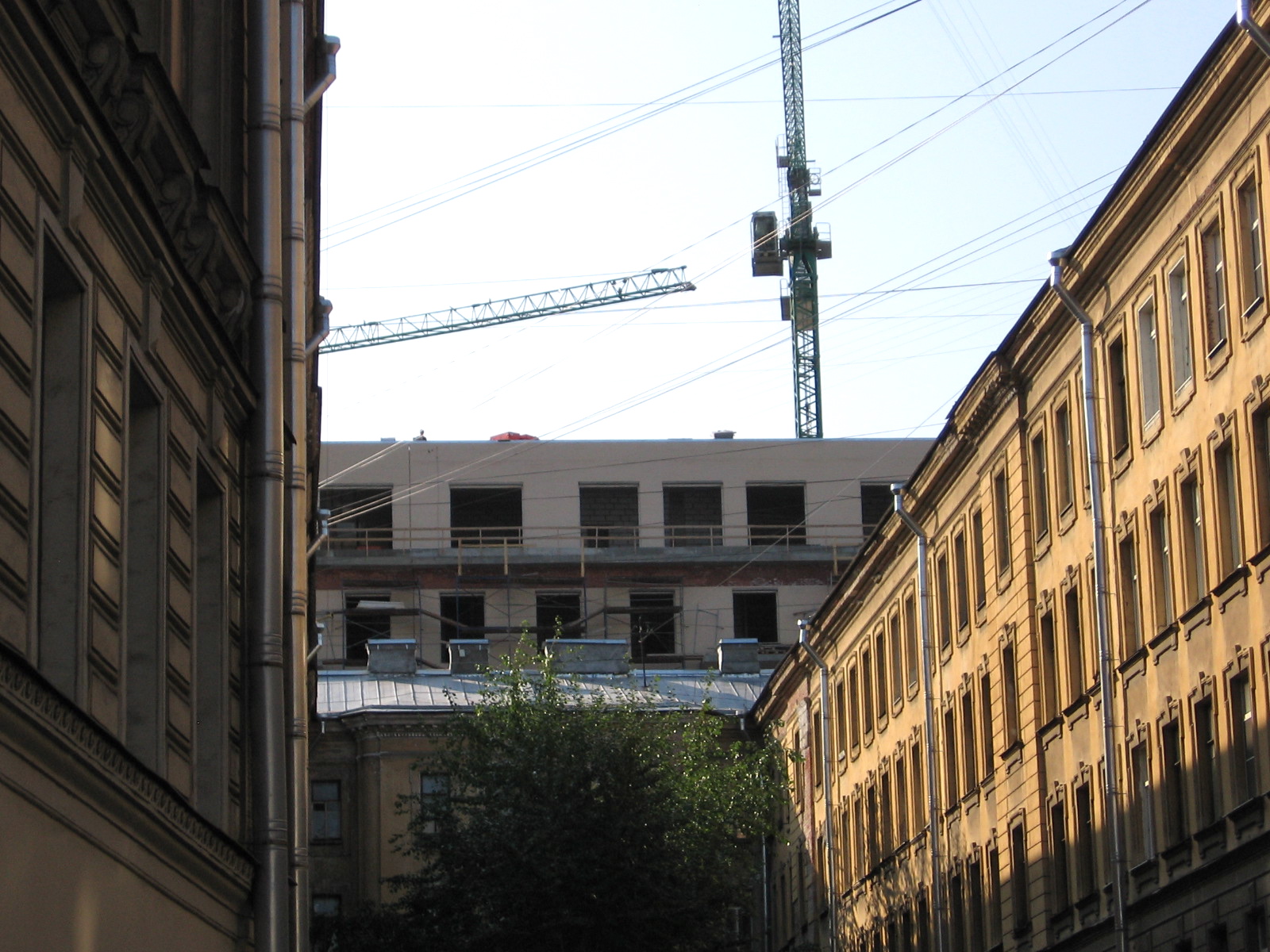
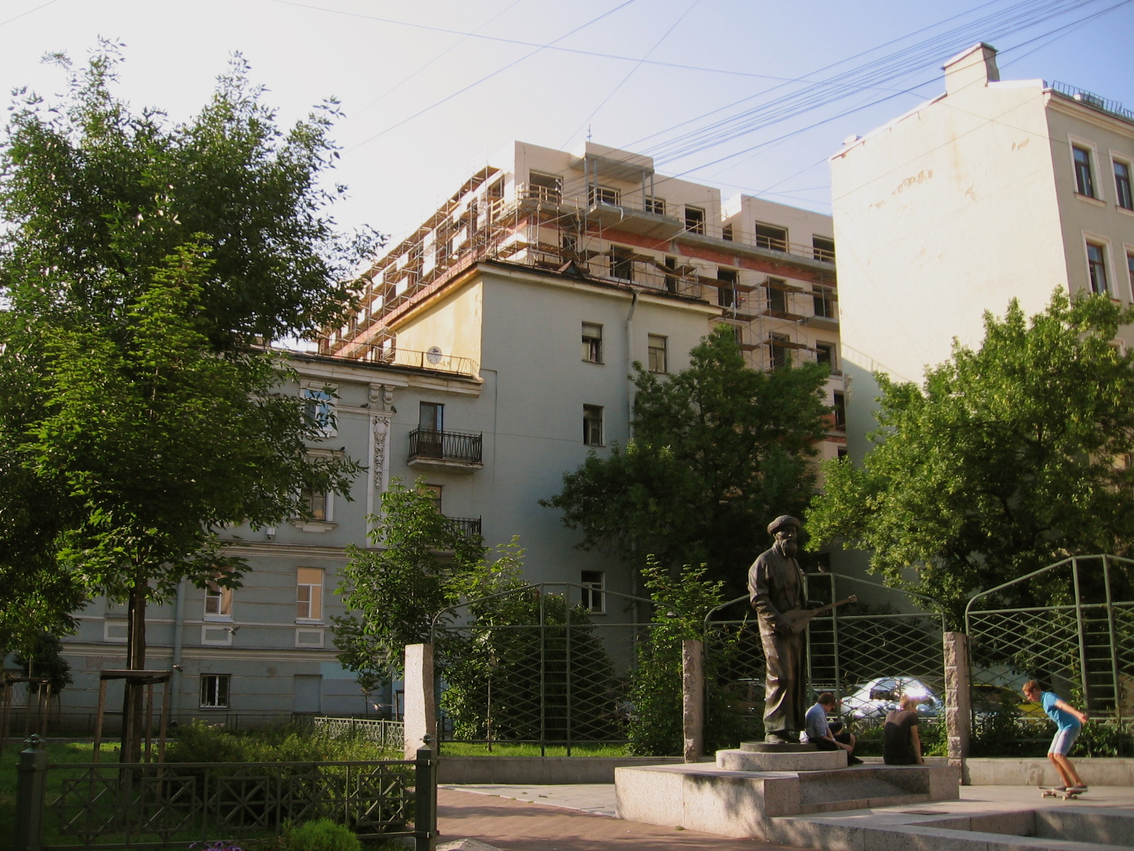
My project The Neva: A River for People, People for the River is an attempt to find a balance between harmony and destruction in the relationship between humans and nature. The role of nature is played by the Neva River, thanks to which my hometown of St. Petersburg was built over three hundred years ago.

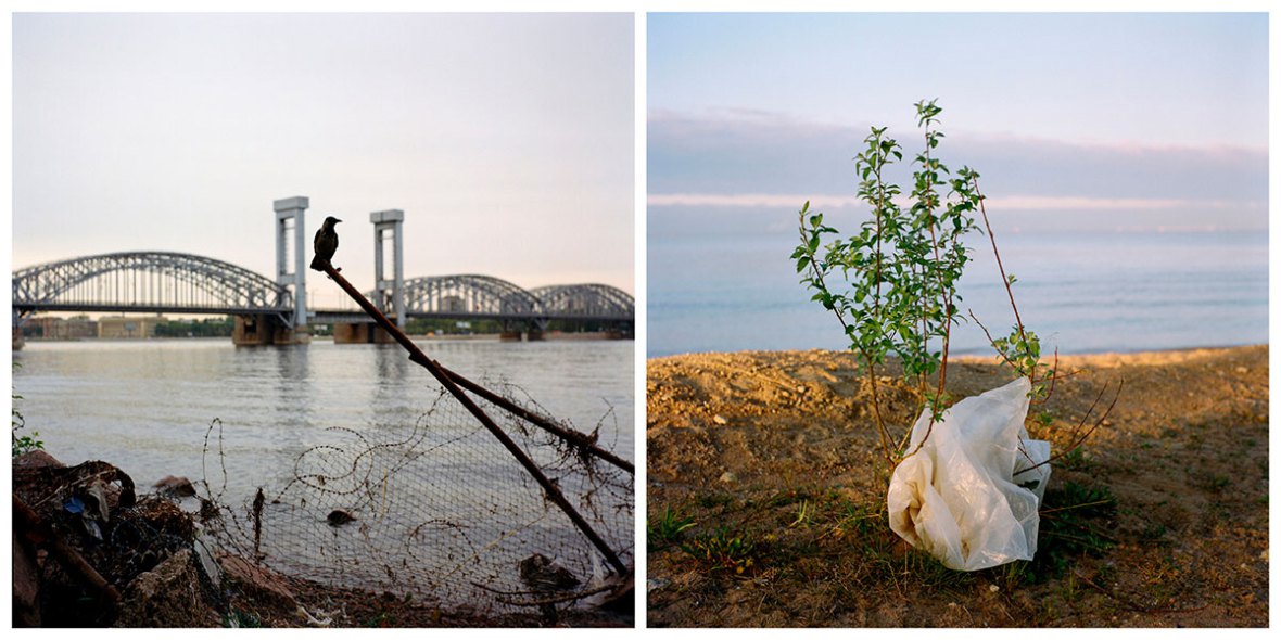
Nature has always only been raw material for the builders of cities, and the Neva’s resources were used at the expense of its gradual destruction. In accounts of the city’s history, the Neva has served as an inert backdrop for heroic conquest. For ordinary people, however, the river has always symbolized the individual’s path in life, her destiny. In my project, the Neva is a metaphorical life line for St. Petersburg and the three towns situated along its 74-kilometer course—Shlisselburg, Kirovsk, and Otradnoye.

The importance of rivers and canals for the city used to be strongly underscored. Russians were instilled with a love of water. Under Peter the Great, every householder was obliged to have a boat, and every home on the waterfront had to have a pier. Even the scanty trade by which many boatsmen in old Petersburg supported themselves—the extraction of firewood, logs, and boards for subsequent sale or use—was practiced with gratitude to the Neva as a benefactress. In old Petersburg, these accidental finds had their own name: “gifts of the Neva.”

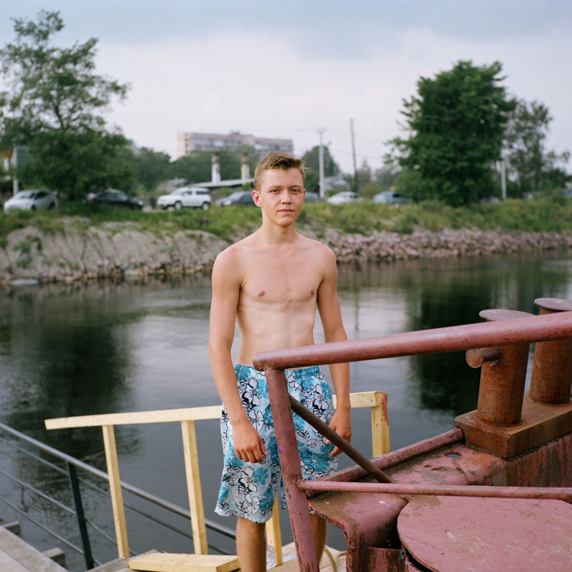
People nowadays have an ever more aggressive and consumerist attitude to the Neva. On the other hand, there is no doubt the people who live in the Neva basin love their river. This contradiction is one of the subjects of my project.

neva-1An incident occurred in the skies over Leningrad on August 21, 1963, resulting in the emergency landing of a Tu-124 passenger plane on the Neva near the Finland Railroad Bridge. The river is around 400 meters wide at this point. A passing steam tugboat towed the plane to the Neva’s right bank. The windshield in the nose of the plane was broken to secure the tow cable. The passengers were evacuated and sent to Moscow.

neva-2Peter the Great was a big fan of the national pastime. During his reign, hockey matches on the ice of the frozen Neva could attract as many as several thousand spectators.

neva-3Shlisselburg. In 1912, the Finnish archaeologist Julius Ailio recorded the following tale in the village of Mikulainen on the shore of Lake Ladoga: “The Neva River used to be tiny. If a tree fell, it would lodge between one bank and the other, and you could cross the river by walking over it. Then fifty or sixty years later, the river widened. Shepherds would toss burning brands across the river to each other to make campfires. But then the river eroded the land at its source and became quite broad.”

neva-4
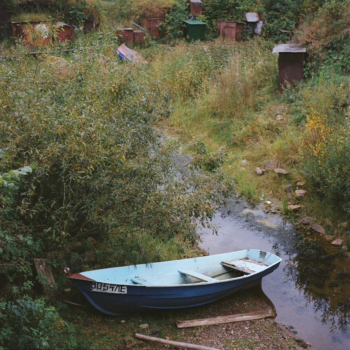
In 1716, by decree of Peter the Great, fishermen from Russia’s northern provinces were settled on the left bank of the Neva between its tributaries, the Murzinka and the Slavyanka, to supply residents of the capital with fish. Originally, the settlement was called just that—the Fishery Settlement [Rybnaya sloboda]. The name was later changed to Fishermen’s Village [Rybatskoye]. The locals still call the ravine in modern Rybatskoye Pike Harbor.

The Visyachka [“The Hanger”] is a ruined pedestrian bridge on a man-made embankment in the backwater of the Nevsky Shipyard in Shlisselburg.

neva-5The Neva smelt [koryushka] has long been considered a symbol of Petersburg. In 1705, Peter the Great issued a decree to support fishermen who caught smelt. According to legend, Peter called the smelt the “tsar fish,” since it could feed the growing population of his new capital city as it was built.

neva-6
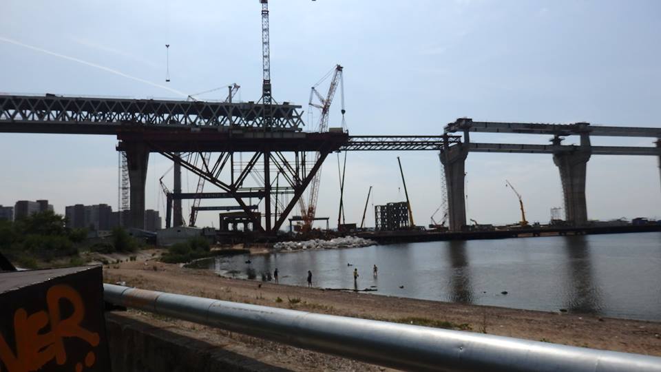
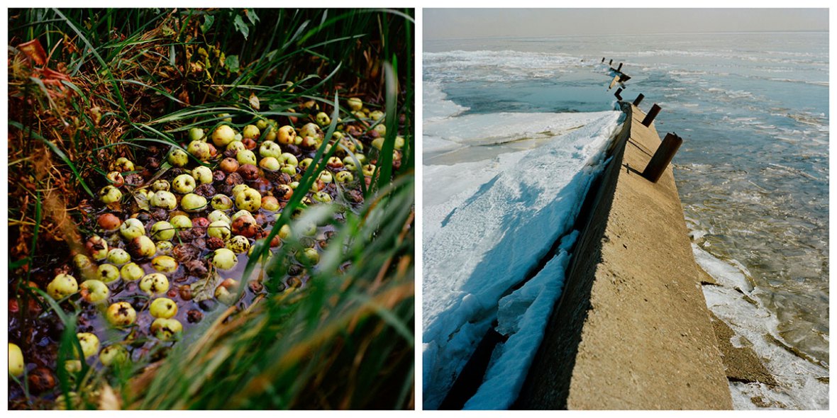
St. Petersburg ranks among the top per-capita consumers of water in Russia. Every twenty-four hours, the city “drinks” the equivalent of a lake one square kilometer in size and three meters deep. Despite the official ban, industrial waste continues to be poured into the river.

neva-7The origin of the name Neva is not completely clear. Some historians think it comes from the Finnish word neva, which translates as “bog” or “fen.”

Thanks to Ekaterina Vasilyeva for her permission to reproduce excerpts from her project here. You can look at her entire photo essay about the Neva on her website or on Republic. Translated by the Russian Reader


Clouds Rose Over the City: How the ZSD Has Changed the Face of Petersburg

The Western High-Speed Diameter seen from the spit of Kanonersky Island, June 26, 2016. Photo by the Russian Reader
The Western High-Speed Diameter (ZSD) tollway, currently nearing completion, as seen from the spit of Kanonersky Island, June 26, 2016. Photo by the Russian Reader

How the Western High-Speed Diameter Has Changed Petersburg’s Look
Kanoner
August 15, 2016

The central section of the ZSD (Western High-Speed Diameter) has almost been completed and looks as it will for years to come. Petersburgers are getting used to how the tollway’s tall bridges have altered familiar cityscapes.

Construction of the ZSD’s central portion was launched in 2013. By that time, the entire southern segment from the Ring Road to the Yekaterinagofka River had been opened to traffic, and a little while later, the ribbon was cut on the northern segment, which runs from Primorsky Prospect to the Scandinavian Highway. While the city built the southern and northern segments in the guise of Western High-Speed Diameter JSC, the most complicated section has been entrusted to Northern Capital Thoroughfare, Ltd., which is linked to VTB Bank and Gazprombank.

The length of the central portion is around 12 kilometers. It runs from the Yekateringofka River to Primorsky Prospect. The segment mostly consists of a series of bridges crossing the Neva Bay on high piers. It was designed by Stroyproyekt Institute JSC. The crossings over Petersburg’s two main fairways—the Petrine Fairway (in the mouth of the Malaya Neva River), and the Ship Fairway (in the mouth of the Neva River)—were built higher. The ZSD reaches its highest point when it passes over Kanonersky Island and the Sea Channel.

A map of the western edge of central Petersburg. The ZSD's 12-km central section is indicated by the dotted pink-and-white line running roughly from north to south along the shoreline. Image couresty of OpenStreetMap
A map of the western edge of central Petersburg. The ZSD’s 12-km central section is indicated by the dotted pink-and-white line running roughly from north to south along the shoreline. Image courtesy of OpenStreetMap

The height of the cable bridge across the Ship Fairway is 35 meters. The crossing is noteworthy for its inclined pylons. According to designers, they are supposed to resemble the drawbridges in Petersburg’s historic center.

Another of its distinguishing features is its visibility from the historic center. The chunks of concrete in a tight web of cables are visible over the Spit of Vasilyevsky Island if you look from the Liteiny Bridge; they can also be seen from the Admiralty.  In addition, the bridge has risen over the far end of Bolshoi Prospect on Vasilyevsky Island. The inclined pylons have had the greatest visual impact on the view down Bolshoi Prospect from northeast to southwest.

The new view down Bolshoi Prospect, Vasilyevsky Island

The cable bridge over the Petrine Fairway reaches a height of 25 meters. However, two of its pylons have risen to a height of 125 meters, which is slightly higher than the spire of the Peter and Paul Cathedral. In recent years, the cathedral has rapidly been losing its status as the city’s visual centerpiece. The tall pencil-like pylons can now be easily seen from the Islands.

The 125-meter-high pylons of the ZSD as it crosses the Petrine Fairway at the mouth of the Malaya Neva River. Photo courtesy of The Village

The bridge crosses the Elagin Fairway at the mouth of the Bolshaya Nevka River. The bridge is situated at a height of sixteen meters, but that has sufficed to wipe out one of the oldest views of the Gulf of Finland, the view that once opened from the spit of Elagin Island. Whereas previously you could catch a glimpse of Kronstadt from the Central Park of Culture and Rest (TsPKiO) on a sunny day, you now must admire the highway.

This video provides a bird’s-eye view of construction of the ZSD over the Bolshaya Nevka River and the nearby Zenit Arena football stadium, on the spit of Krestovsky Island. Posted on YouTube by Alexander Parkhomenko on April 11, 2016, it was, apparently, filmed by a drone on October 18, 2015.

But as it crosses the Sea Channel, the bridge has come to tower over an entire island, Kanonersky. Its metal girders hang right over the island’s late-Soviet residential high-rises.  Some of the buildings will have to be resettled, but no buildings have been demolished yet and, most likely, none will be.

Путиловская набережная, ЗСД

Канонерский остров, ЗСД

This stretch of the ZSD is the highest, because the main water route to the Neva (i.e., the one with the deepest fairway) runs through this part of town. The height of the span is 52 meters. Initially, it was planned to be slightly higher, 55 meters. It was lowered “to mitigate the highway’s longitudinal profile in order to ensure traffic safety on the approaches to the highest portion of the ZSD.”

The ZSD running right over the treetops of Kanonersky Island. Photo by the Russian Reader
The ZSD running right over the treetops of Kanonersky Island, June 26, 2016. Photo by the Russian Reader
The ZSD under construction near the central beach on Kanonersky Island,
The ZSD under construction near the central beach on Kanonersky Island, June 26, 2016. Photo by the Russian Reader

The 52-meter mark was cleared with the United Construction Corporation and the management of the Port of Saint Petersburg. Nevertheless, a group of activists including Rear Admiral Igor Kolesnikov and Alexander Ivanov, Honorary Worker of the Soviet Marine Fleet, issued a statement that “the bridge clearances adopted in the draft project exclude the passage of large ships, vessels, and boats.”

Морской канал

In addition to the bridge, the face of the city has been impacted by another engineering decision made by the ZSD’s designers. As it passes the western edges of Vasilyevsky Island and the Island of the Decembrists, the road has been laid along the bottom of a ditch dug into the ground. Moreover, the road bed is essentially situated where ten years ago the waves of the Gulf of Finland washed the shoreline.

ЗСД на Васильевском острове

A tunnel was built under the mouth of the Smolenka River to construct this segment of the highway. It was built using the cut-and-cover method. Due to this fact, the Smolenka flowed into the gulf via two channels. While the tunnel was under construction, they were closed in turn to drain the water away. During the first phase, the tunnel was dug under the southern channel; during the second phase, under the northern channel.

ЗСД, тоннель под Смоленкой

The reclaimed lands to the west of the ZSD have been undergoing vigorous housing development, but they are cut off from main part of Vasilyevsky Island by the ZSD itself. The only link is Michmanskaya Street, which runs over the highway via an overpass, which was built before construction on the ZSD had begun. To improve transportation accessibility over the highway, two more bridges have been erected in the vicinity of Europe Square. For the time being, however, like the entire ZSD, they are fenced off and closed not only to traffic but also to pedestrians.

Under the investment agreement, the central section of the ZSD must be delivered this year. In the wee hours of August 9, a demonstration took place that involved securing the locking section of the road bed for the cable bridge over the Ship Fairway. Next, the final guy lines have to be adjusted and tightened, and the road bed must be asphalted.

According to the most recent statements by Petersburg city hall officials, the entire highway is scheduled to be open to traffic in November.

Translated by the Russian Reader. Photos by Dmitry Ratnikov, except where noted.

_________

“Clouds Rose over the City,” from the film The Man with the Gun (1938), as sung by Mark Bernes:

Clouds rose over the city,
The smell of storm was in the air.
In faraway Narvskaya Zastava
Walked a young lad.

Ahead of me is a long, long road.
Come out, my dear, and say goodbye.
We’ll say our farewells in the door.
And you wish me luck on my way.

Don’t Mind the View

Vista of Vasilyevsky Island’s Bolshoi Prospect Blocked by Western High-Speed Diameter Pylons
July 9, 2015
Kanoner

The pylons of a bridge currently under construction as part of the central segment of the Western High-Speed Diameter tollway have encroached on the vista of Vasilyevsky Island’s Bolshoi Prospect. People with good eyesight can see them from the First Line, on the far eastern end of the avenue.

IMG_7332
Fishermen say farewell to their view of the Baltic Sea on a warm May day as the Western High-Speed Diameter’s pylons emerge from the murky depths of the Gulf of Finland. Gavan, Vasilyevsky Island, Petrograd, May 2015. Photo by the Russian Reader

Construction of the tollway’s central segment, which links the Ekateringofka River Embankment and Primorsky Prospect, began in 2013. The general contractor is Northern Capital Thoroughfare, Ltd. The length of the segment is approximately twelve kilometers. According to the investment agreement, it it must be delivered in 2016.

The main segment of the highway will pass over the water on a flyover designed by Stroyproyekt Institute JSC. One part of the thoroughfare is a cable bridge spanning the shipping fairway in the mouth of the Neva River. Pylons are now being erected for the bridge. Two of them are exactly aligned with Bolshoi Prospect on Vasilyevsky Island, it turns out. They are clearly visible both from Gavan (the western section of Vasilyevsky) and from the first Lines, and this despite the fact that currently they have been built to a little over half their projected full height.

google-spb view
Recent Google satellite image showing the emerging cable bridge section of the Western High-Speed Diameter tollway, the mouth of the Neva River, and the southwestern tip of Vasilyevsky Island, including Bolshoi Prospect

Earlier, concerns were voiced that the size of the Western High-Speed Diameter was insufficient, and therefore tall-masted sailing ships would be unable to sail into the Neva under the new cable bridge. But this viewpoint was not heeded.

The emergence of new buildings and facilities in the vistas of historic streets is not a rarity in Petersburg. The sky above the Nicholas Children’s Hospital, at the end of Chapygin Street, has been completely occluded by the high-rises of the Europe City residential complex (developed by LSR). The vista of Poltava Street has now been blocked by the Tsar’s Capital residential complex (LenspetsSMU, developer), and the new residential building Hovard Palace (Hovard SPb, Ltd., developers) is twice as high as the surrounding built environment and has thus emerged above the skyline at the beginning of Socialist Street.

tsars' capital-render
Artist’s rendering of Tsar’s Capital residential complex, currently under construction near the Moscow Station in downtown Petersburg. Image courtesy of LenSpetsSMU developers

_________________________

Hovard Palace Residential Building Encroaches on Vista of Socialist Street
May 13, 2015
Kanoner

Hovard Palace, a residential building currently under construction at Zagorodny Prospect, 19, has significantly encroached on the vista of Socialist Street. It has also changed the look of neighboring Jambyl Lane.

IMG_9262
Hovard Palace, currently under construction, rises high above the end of Socialist Street. It is clearly visible from the other end of the street, half a kilometer away. Photo by the Russian Reader
IMG_9259
Hovard Palace towers above a a square named in memory of the revered Kazakh traditional folk singer Jambyl Jambayev, situated on a lane bearing his name. Photo by the Russian Reader

To make way for the elite complex, a pre-Revolutionary building originally designed as a block of rented flats for State Bank employees was demolished. The five-storey house was built in 1898–1901 and designed by architect Heinrich Bertels.  After investor Hovard SPb, Ltd., took an interest in the site (according to rumors, the company has personal ties to former Petersburg governor and current Federation council chair Valentina Matviyenko), residents of the dormitory that had been housed in the Bertels building were forcibly evicted to the village of Shushary, outside the Petersburg city limits. [Translator’s Note. The June 2012 linked to here paints a slightly more complicated picture of how the now-demolished building was resettled.]

City hall officials categorized the forced relocation as having public significance. This was preceded by a personal memorandum from Valentina Matviyenko, in which she wrote, “The site has public significance. Work to find a solution.” The memorandum was addressed to three deputy governors.

This “public significance” made it possible for Hovard SPb to avoid complying several provisions of the law. In particular, it was allowed to demolish the building (although the demolition of pre-Revolutionary buildings is expressly forbidden), and construct the new building higher than stipulated by local height zoning regulations. The environmental impact analysis was conducted by Devros, Ltd., which is directly linked to one of Valentina Matviyenko’s people, Alexei Komlev, ex-deputy chair of the city’s Landmarks Use and Preservation Committee (KGIOP). The analysis show that the new building would be visible behind neighboring buildings, but within tolerable limits.

The eight-storey [sic] residential building was designed by Moscow architect Mikhail Belov. Soyuz 55, Ltd., run by Alexander Viktorov, former chief architect of Petersburg, adapted Belov’s design to local conditions [sic].

Hovard Palace
Rendering of Hovard Palace, which the caption, in Russian, says contains nine storeys. Image courtesy of Novostroy-Spb.ru

Now, as the upper floors are being erected, they are clearly visible from the surrounding streets. The building’s impact has been especially acute on the vista of Socialist Street. And from the intersection of Zagorodny Prospect and Socialist Street one can see that the eight-storey building has risen above the cour d’honneur of Simonov House (Zagorodny, 21–23), which forms a small side street.

The look of Jambyl Lane has changed as well. Jambyl Square, containing the monument to Jambyl, looks different, and the bard himself now strums his lute against the backdrop of the new building.

The developer promises to deliver Hovard Palace in the late summer.

IMG_9266
Hovard Palace and environs, July 16, 2015. Photo by the Russian Reader

Translated by the Russian Reader